Authored by Shreyas Sati and Alana Helin as part of the BIOME Trust Wetlands & Lakes Project
Summary
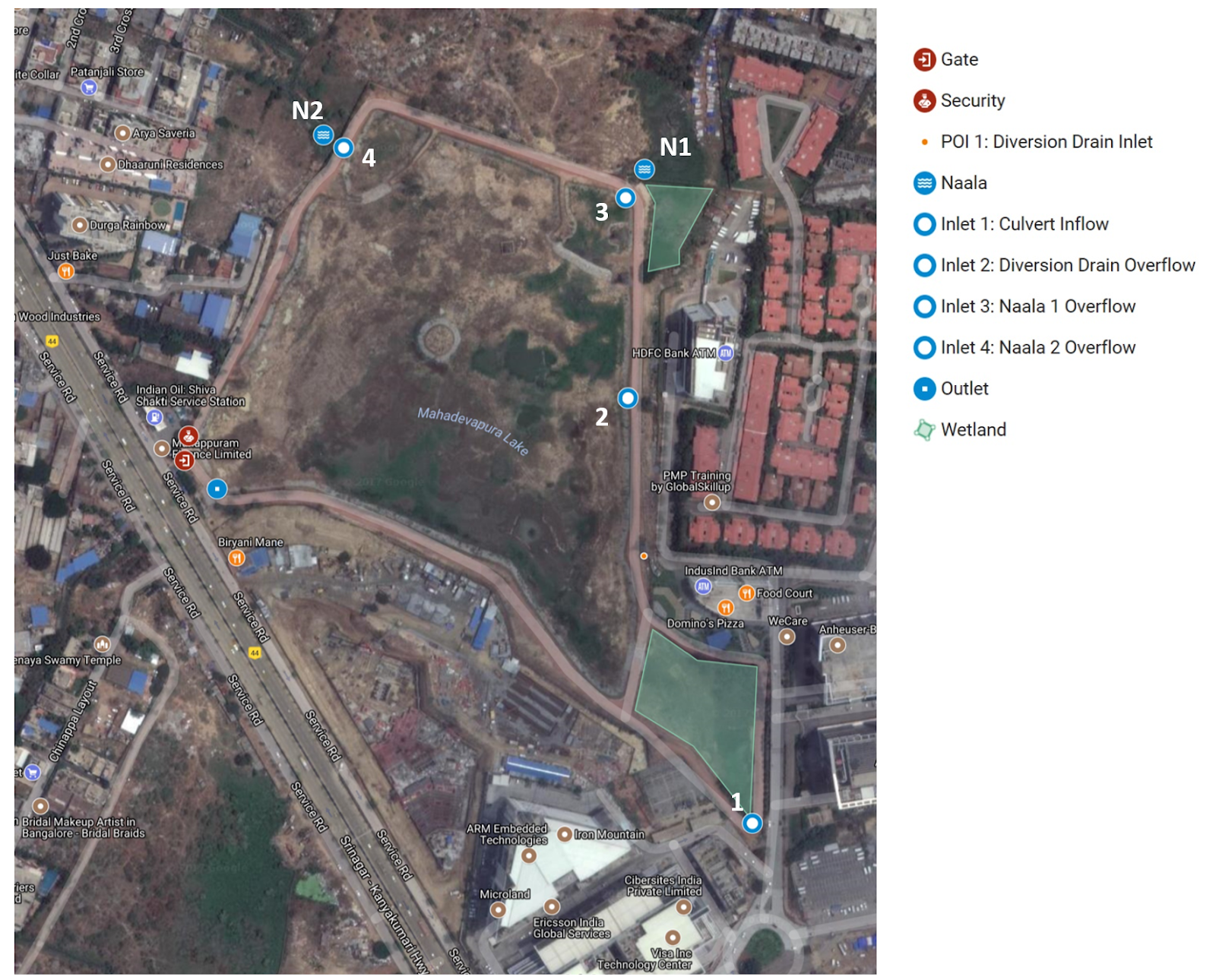
Mahadevapura Lake is on 22 acres and is located in the east of Bangalore between Purva Parkridge and Durga Rainbow Apartments. It is frequented by many local residents who enjoy the provided walking path. Currently, no STP exists in the lake premises, however there are plans for a 1 MLD Dewats STP to be setup by CDD. There are two wetlands, one in the southeast and the other in the northeast of the lake. In total, there are 4 inlet points and 1 outlet from the lake. Of the 4 inlets which carry sewage, 3 overflow into the lake during any flood event and one enters directly into the wetland area that is to the southeast side of the lake. The volume of inflow through the inlets could not be determined.

Overview and Observations
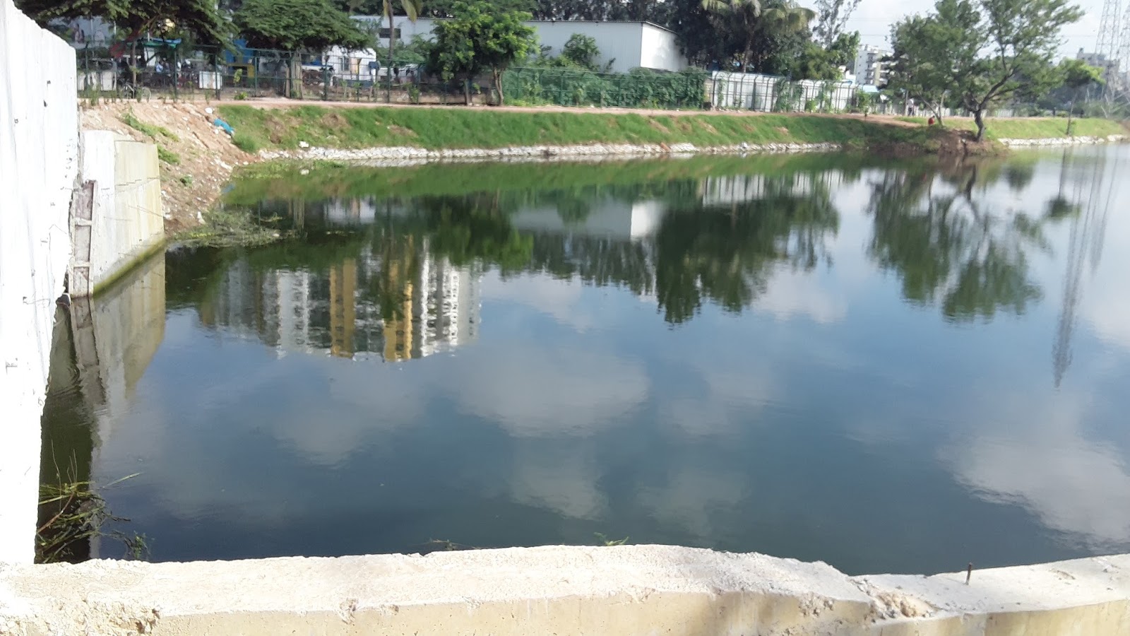
Mahadevapura Lake is located in Mahadevapura, Bangalore.
Lake Area
|
22 acres
|
STP & Wetlands
|
No STP exists within the lake premises. However there is a proposed plan to commission a 1 MLD STP for which necessary government approvals have already been obtained.
There are 2 wetlands in this lake.
|
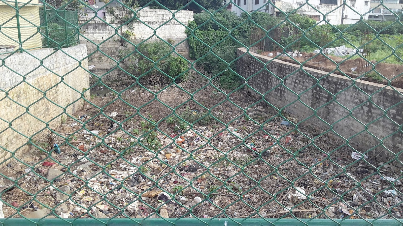
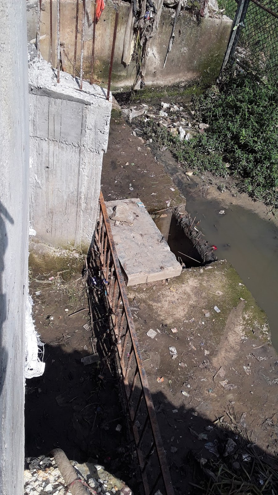
Until 2014, the lake was under the jurisdiction of Lake Development Authority(LDA). Due to lack of funding, LDA was unable to control the flow of sewage into the lake and therefore the jurisdiction of the lake control was shifted to BBMP1. With a budget of about 3 crores, the BBMP began the implementation of lake rejuvenation in early 20162. There are four inlet points, two of which are naala overflows, one is diversion drain overflow, and the other flows directly into the wetland area in the southeast of the lake. There is one outlet from the lake. Along the eastern side of the lake, there is a sewage inlet into the diversion drain (POI 1) which does not enter the lake and flows through the diversion drain.
POI 1 - Diversion drain inlet on the eastern side of the walking path along the fence.
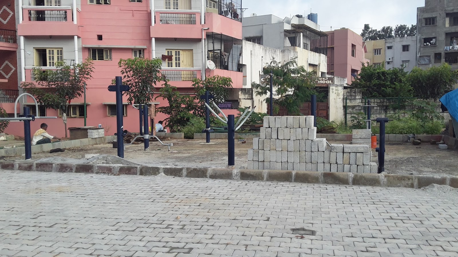
The lake premises are surrounded by a fence through which there is one entrance. In the mornings and evenings, many local residents use the 1.5 km path around the lake for walking, jogging, or other workouts.
The Lake
Four inlets where water would enter Mahadevapura Lake were identified and are summarized below.
Inlet
|
Name
|
Description
|
Photos
| |
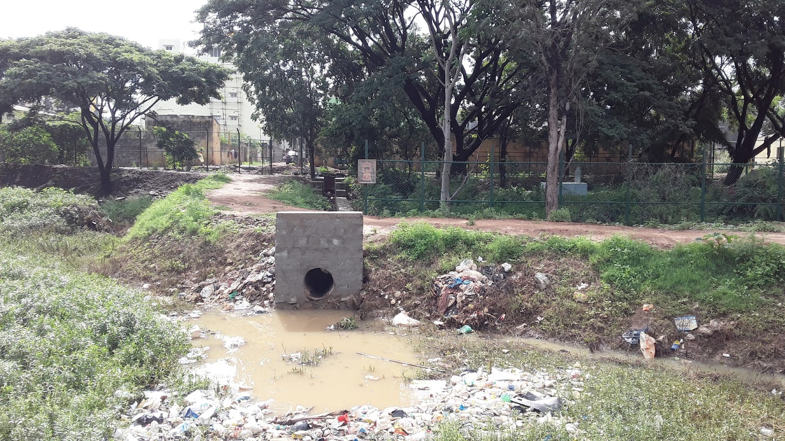
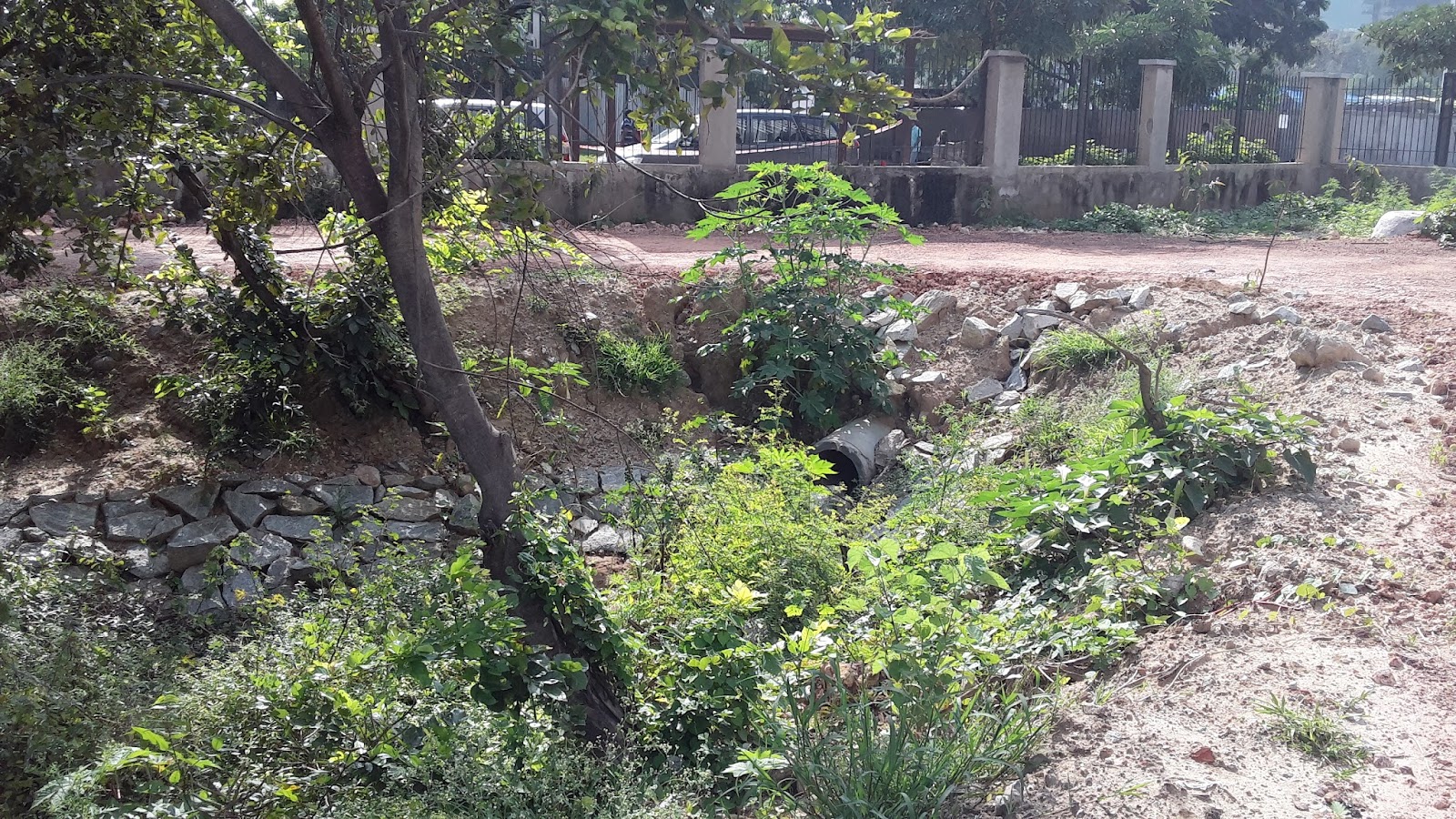
1
|
Culvert Inflow
|
Discharges into the wetland that is to the Southeast of the lake. This is the only inflow which flows directly into the wetland/lake. The rest of the inflows are overflows into the lake.
|  | |
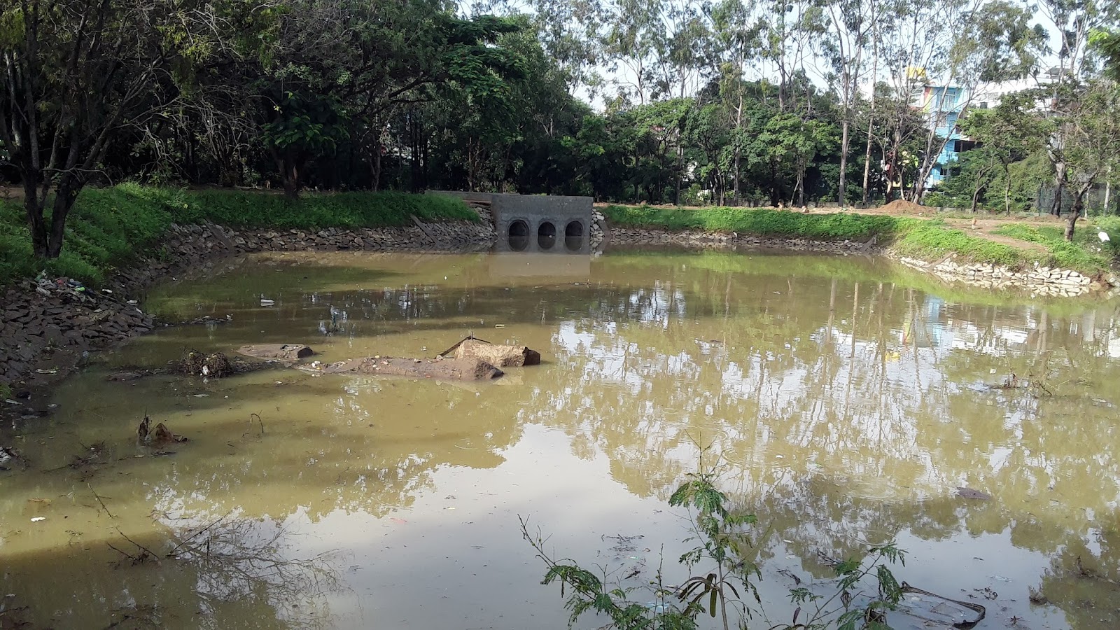
2
|
Diversion Drain Overflow
|
Along the eastern perimeter of the lake, this diversion drain exists which overflows into the lake through two culverts during flood events
|   | |
3
|
Naala 1 Overflow
|
Overflows through a bar screen into the lake under a bridge from the Northeast direction. Source of flow is undetermined.
|    | |
4
|
Naala 2 Overflow
|
Overflows through a bar screen into the lake under a bridge from the Northwest direction. Source of flow is undetermined.
The region of water after the overflow is separated from the rest of the lake by a bund.
|  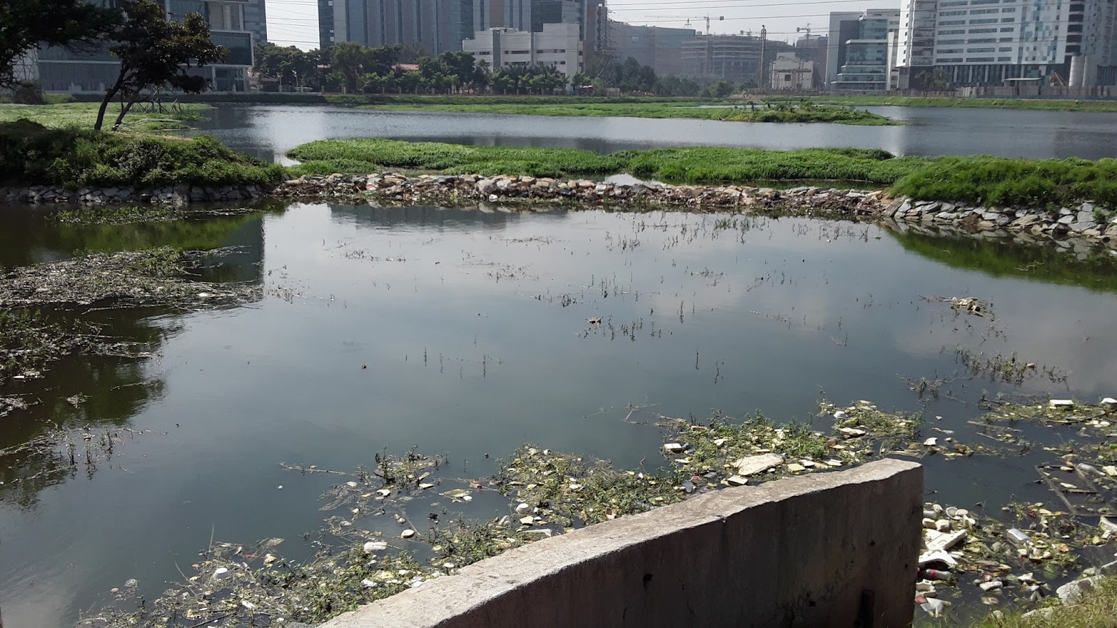 | |
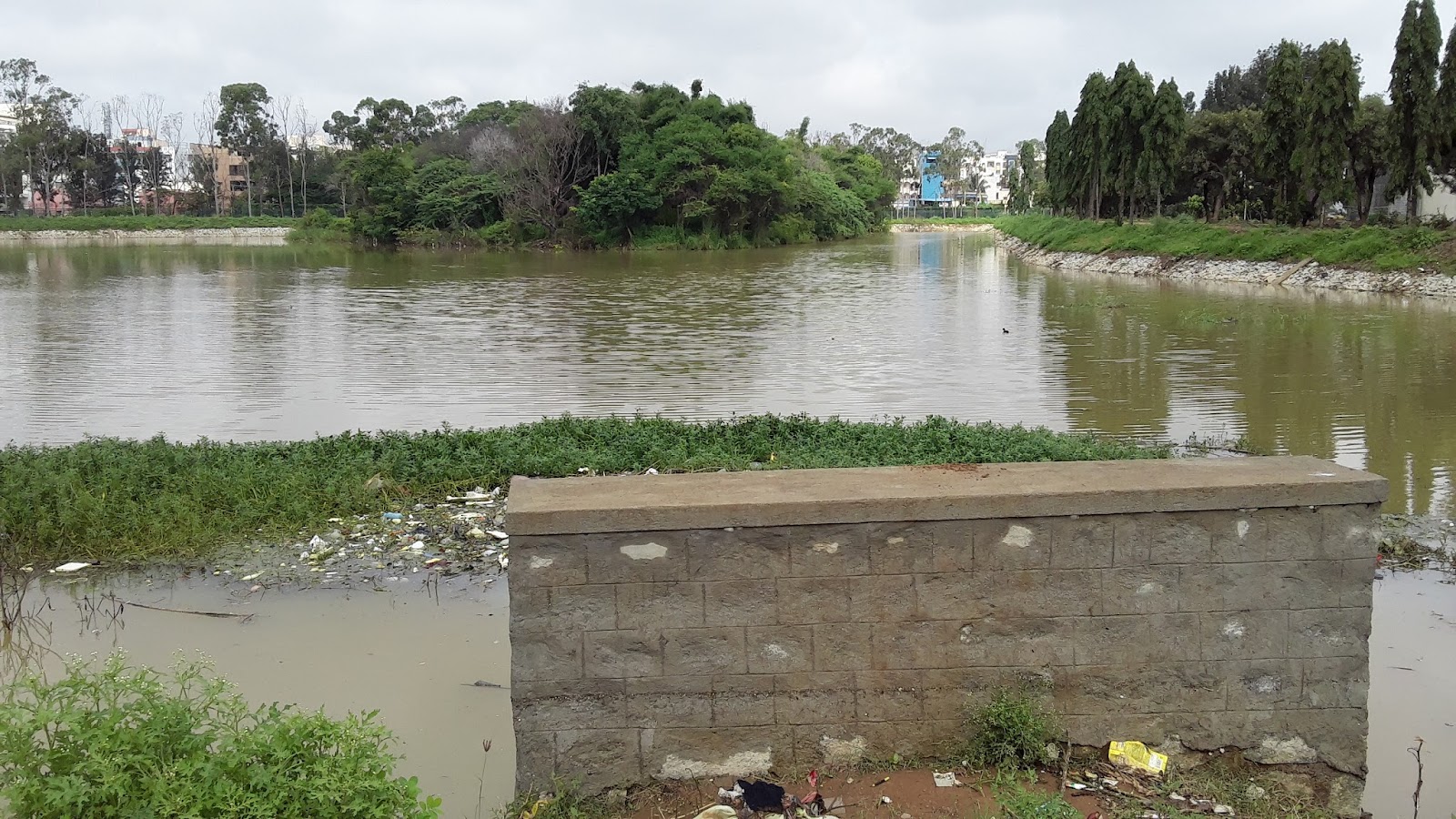
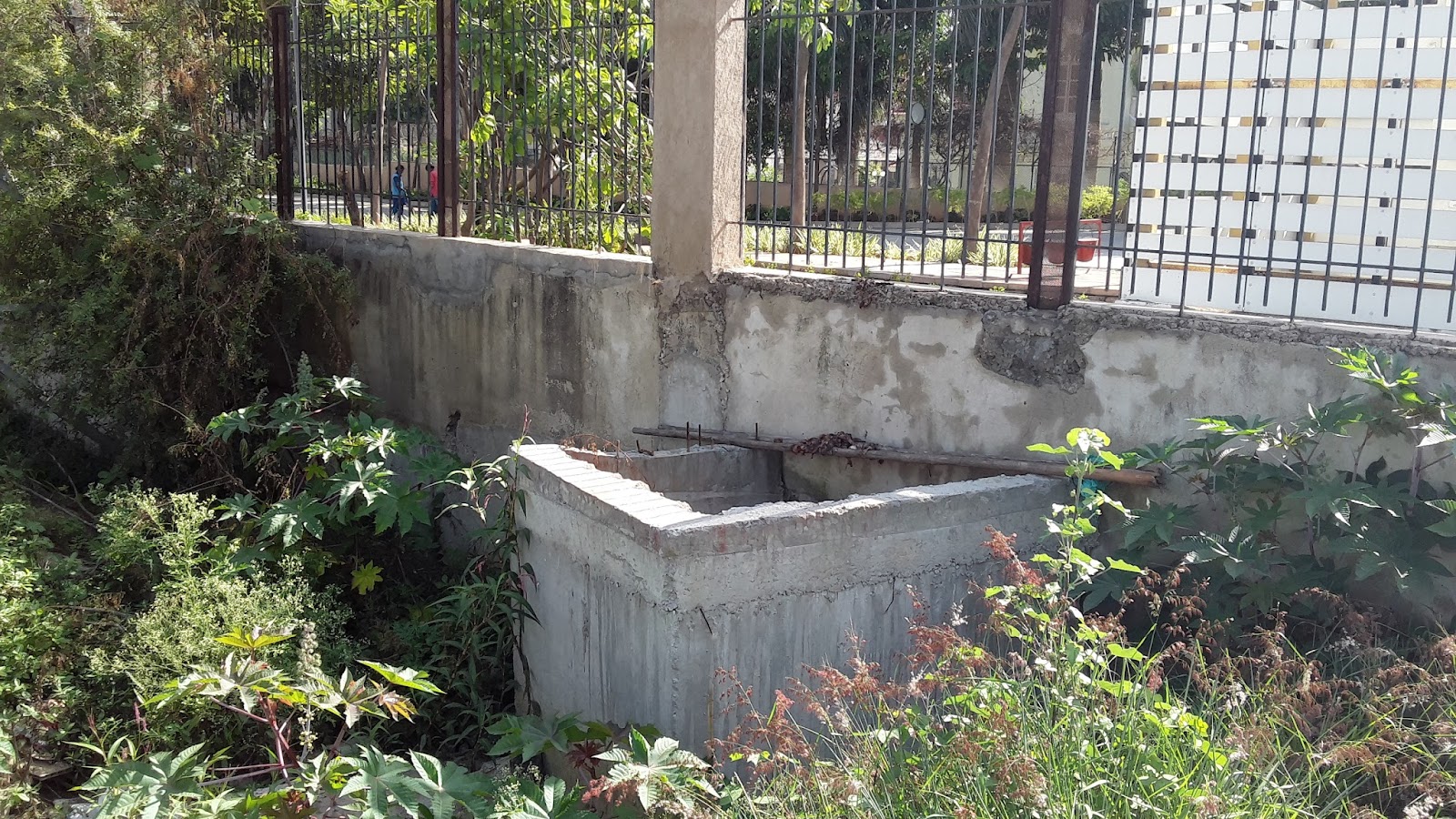
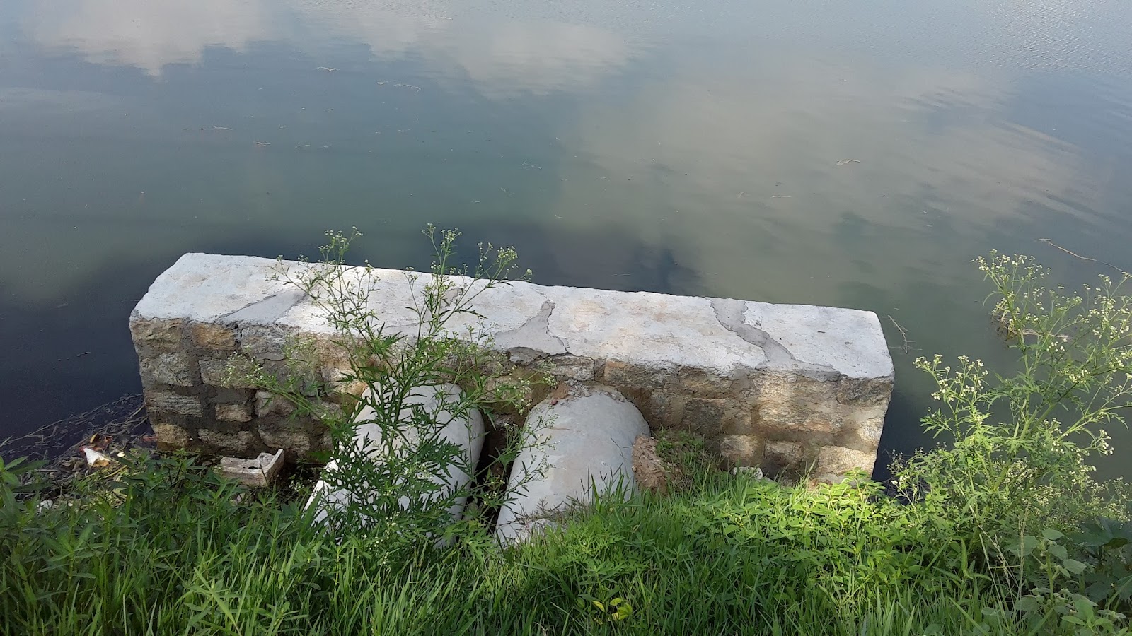
The outlet from the lake is an overflow system under a bridge in the SW corner of the lake.

Overflow outlet from Mahadevapura Lake
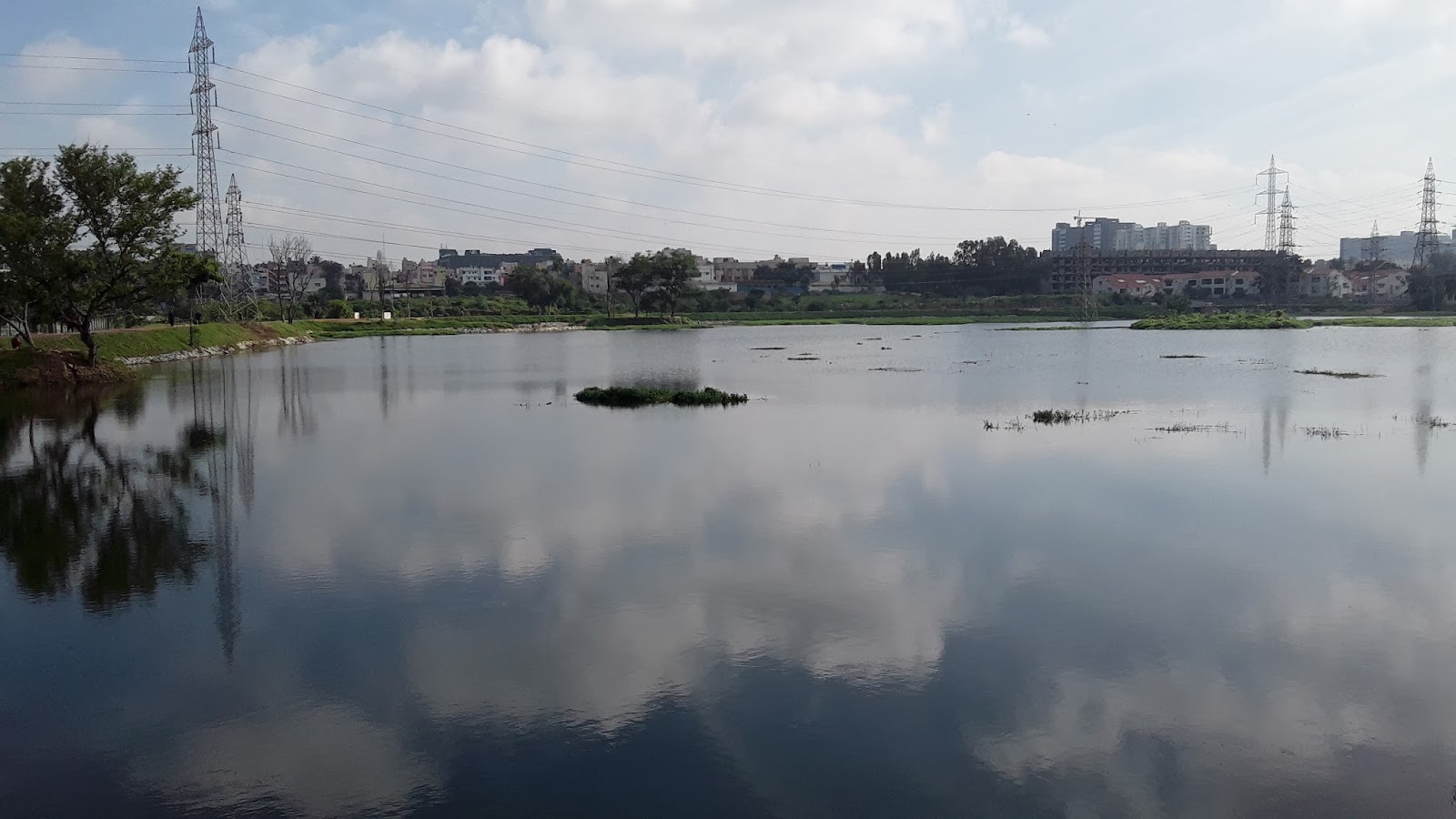
There was no apparent buildup of algae around the lake, nor was there any strong sewage odour.
The STP
Currently, there is no STP at Mahadevapura lake. However, we have learnt that an STP of 1 MLD capacity will be commissioned in the near future for which necessary approvals from the government authorities have been obtained. The vendor of the STP will be CDD and the technology is Dewats. However, we do not know the location of the STP in the lake premises.
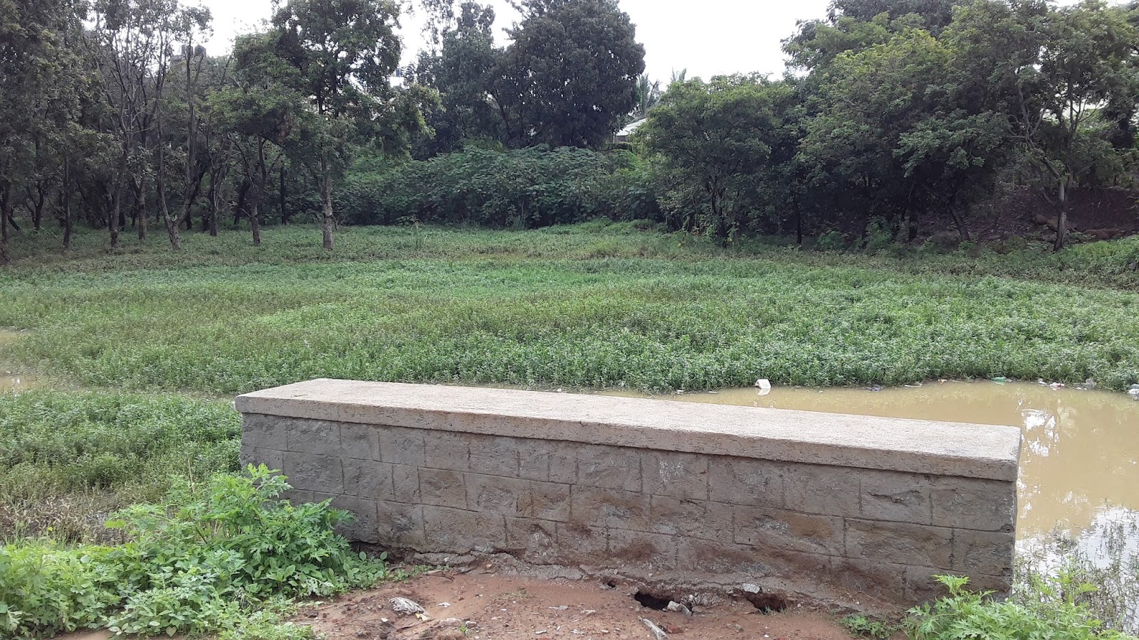
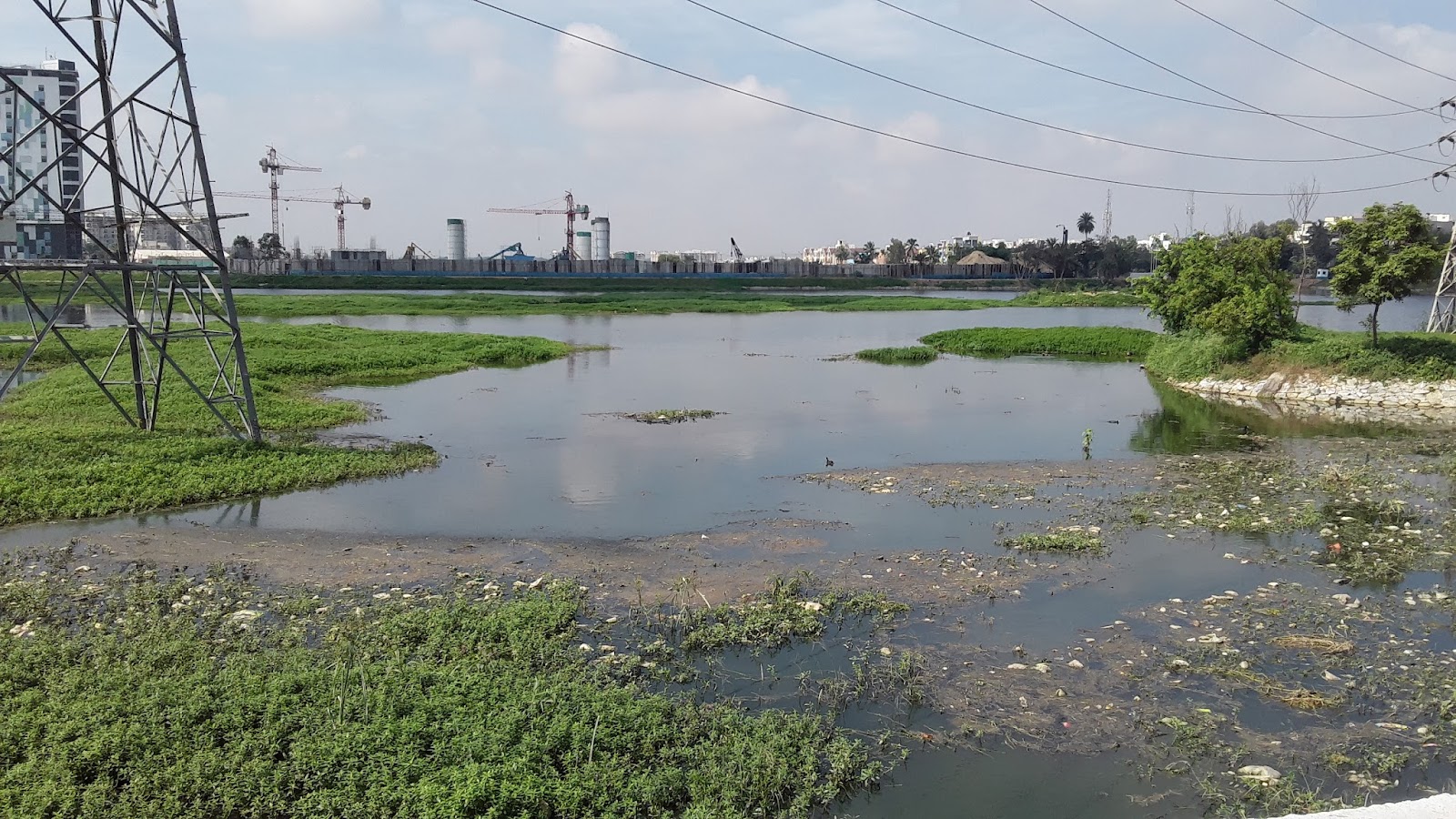
The Wetlands
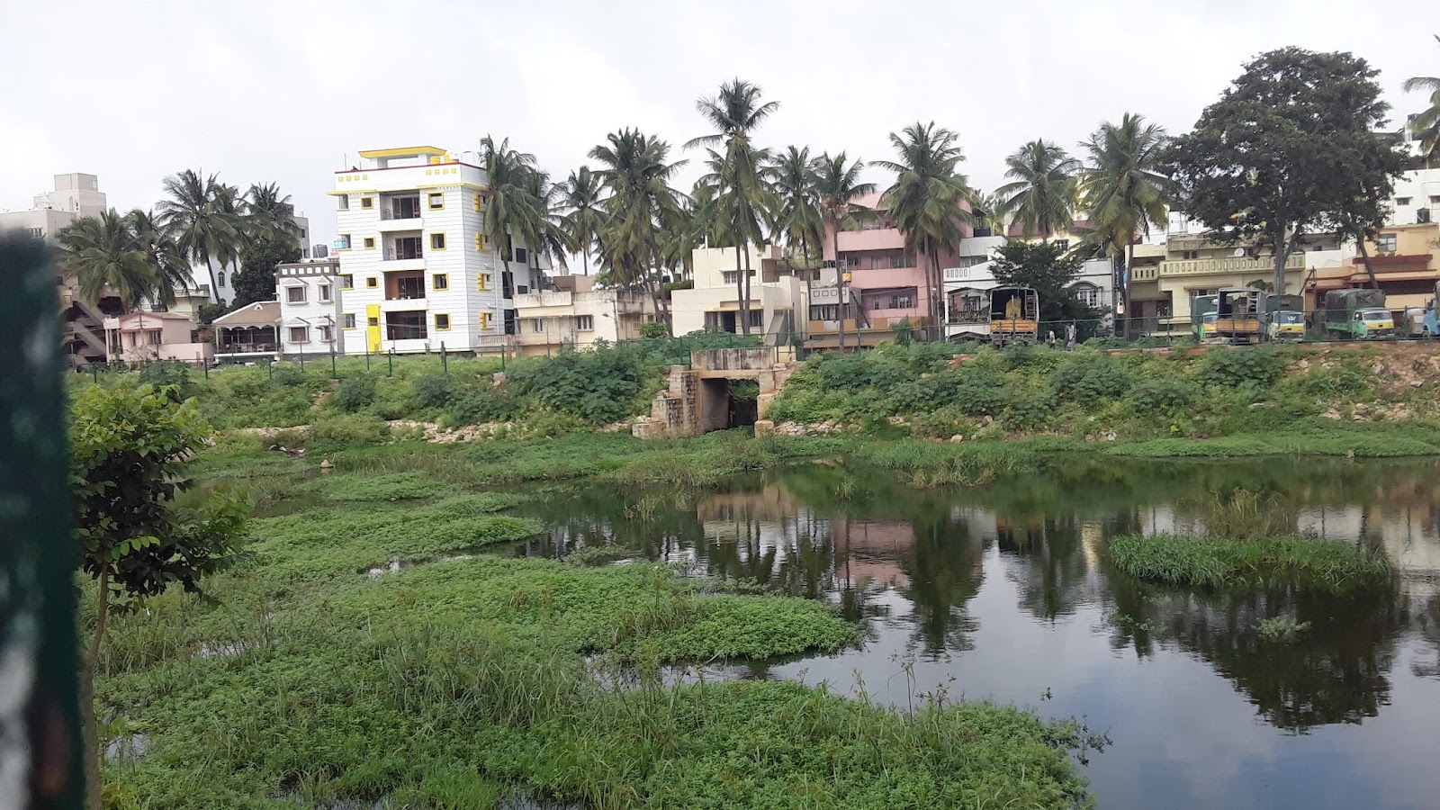
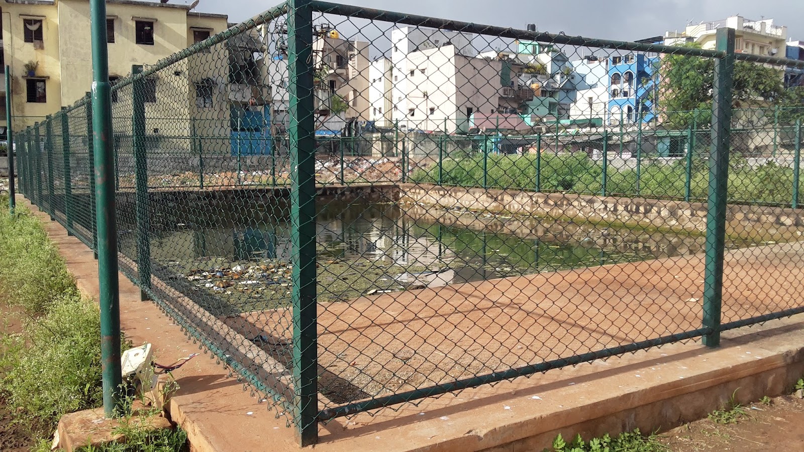
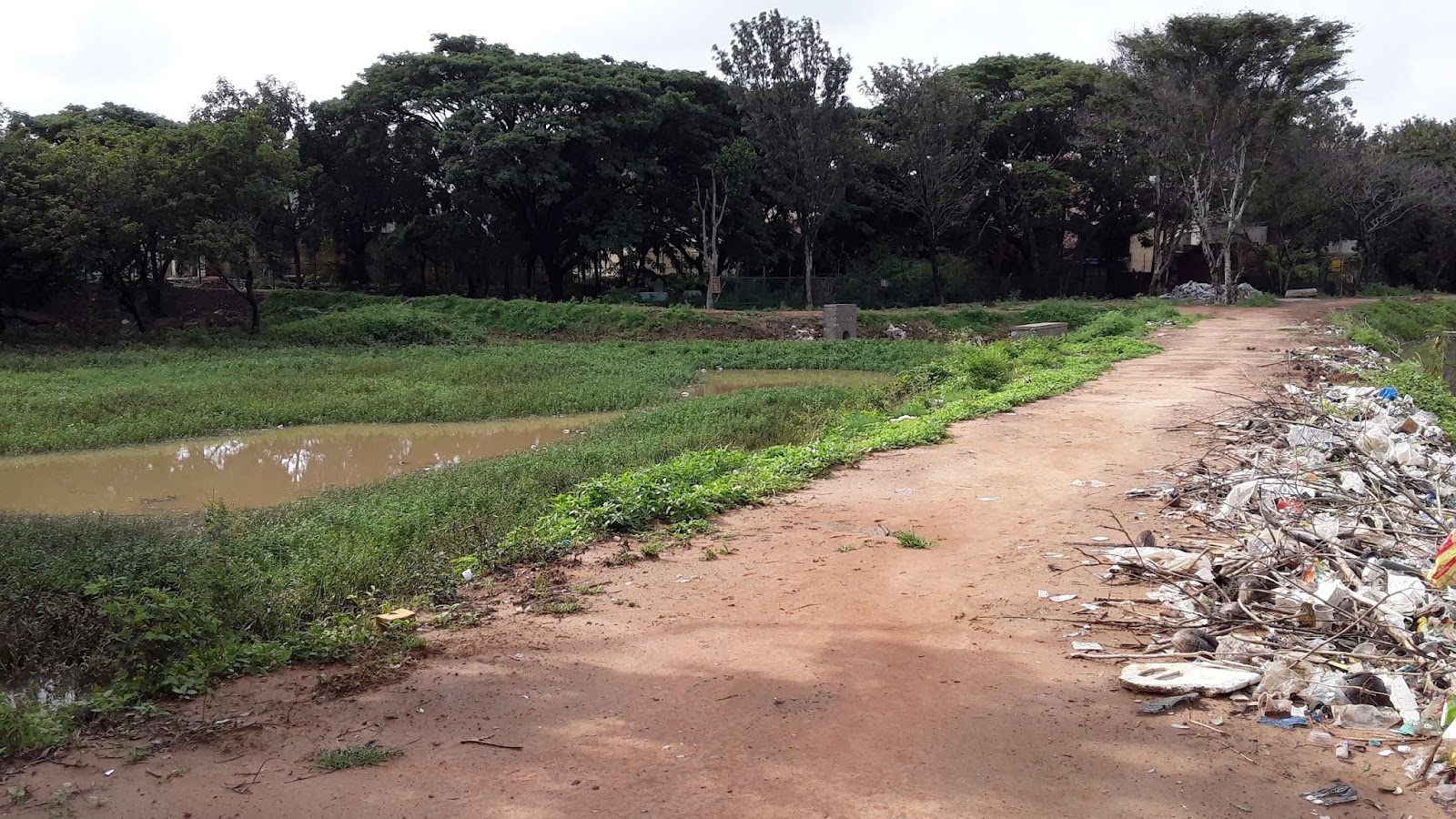
There are two wetland areas at Mahadevapura: Wetland 1 in the SE corner and Wetland 2 in the NE corner. Both are separated from the main lake by a bund and the raised walking path, respectively.
Both wetlands have a large number of plant species throughout which cover most of the surface. Because of this, any sewage that may enter these wetlands would undergo some treatment. Large solids may settle and be filtered as the water passes through the stones and plant growth on the bund between Wetland 1 and the main waterbody of the lake.

Wetland 1 - SE wetland pictured above (facing southeast).

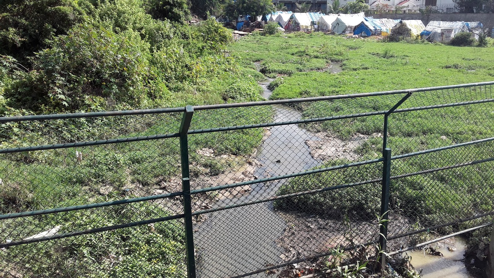
Wetland 2 - NE wetland pictured above (facing northeast). Sewage drain discharging from right-hand side.
Contact Info
BBMP : 08022221170
References